|
Basic Info
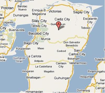
Waypoint Code: Patag
Description: Patag
Coordinates: 10° 41.626N
(WGS84): 123° 10.450E / Elev: 741m
Staright distance from Manila: 493 km.
Province: Negros Occidental
Brgy Patag, Silay City, Neg. Occ. (elev. 1500m)
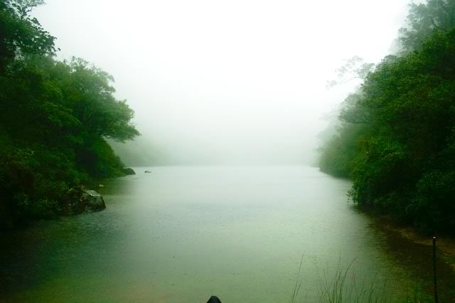
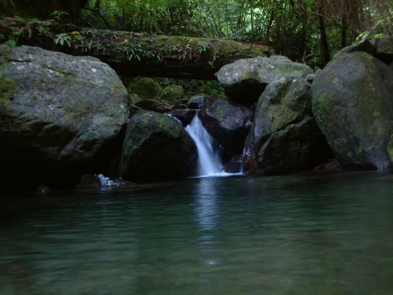
 Brgy Patag is 35km from the city proper, elevation is 1500m. It is one of the few remaining forests that have primary growth trees on Negros Occidental. It is also where the Japanese soldiers in the area made their last stand in WW2.
It has recently been promoted by the local govt. as an eco-tourism area and its cooler weather has made it a smaller, more backward version of Tagaytay. (They got 24hour electricity just a few years ago)
A "test" few photos taken by my D50 + recently acquired 20/2.8, which sadly failed the test and will have to be sent back to Mla for cleaning (it wasnt as sharp as I expected and the pics were a bit hazy/flarey). The photos were "saved" because they were taken in RAW. These are the tweaked versions.
by: Carlo Leonardia
|